- Joined
- Nov 14, 2014
- Messages
- 851
Bob,
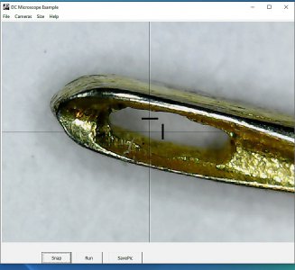
Your app is pure genius! Many many thanks for sharing it with the machinist community.
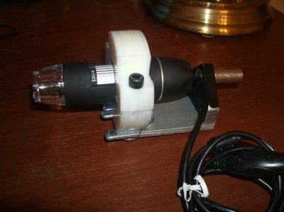
Regarding the comparator function, would it be feasible to perhaps build a split screen ( or overlay function) and use dual spindle mounted cameras to create a comparator function? One spindle would be mounted and centered on the quill as you have already described - delivering an image of the work piece. The other camera could be mounted on a second position on the spindle mount, or perhaps independently of the quill, say on a separate dial indicator stand or other vertical post at a nearby location, and render an image layers of a known reference object - for example a radius gauge. Then the two images could be compared and overlaid to determine goodness of fit. Is this set up feasible??
I could see where two different focal lengths might be a problem. However in Geographic information systems, when one registers separate data layers with a known projection and coordinate extent, they always overlay at the same scale and relative extent. I image something similar perhaps could be worked out with two camera settings?
Another step would be to find a video camera with a wifi chip and do away with the USB cord entirely...
Thanks again for developing such a superb app. I can't wait to build up a mount and try it out!
Regards
Glenn


