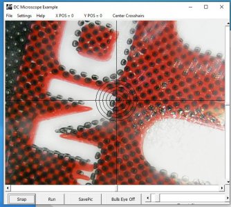
Actual, GIS software and I think CAD routinely provides distance measurements at any scale (magnification) for all kinds of digital shapes- circles, polygons, lines etc. both areal measurement and linear distance measurement.
I wonder if there may be open source libraries available that might be imported to accomplish this function? I suppose the problem lies in establishing an initial datum regarding the workpiece-e.g. How long is an "inch" or other unit of measurement in the camera's viewing screen...
What would be cool is if you could draw a circle around the edge of a hole and the software would display the diameter.


